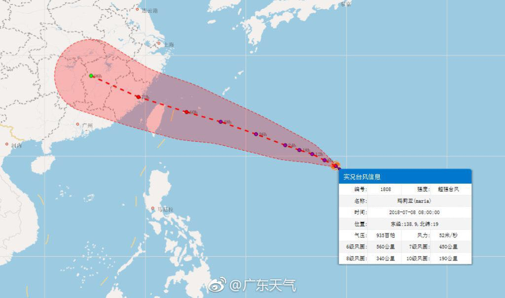
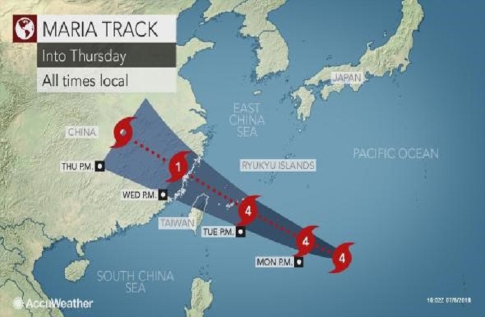
Contrary to our report last Friday, Shanghai can breathe a sigh of relief that Super Typhoon Maria will not be hitting out city this week, as was previously forecasted. Instead, it has changed course and moving towards China's southern coast.
The storm began Thursday night in warm waters around 500 kilometers northwest of Guam, and has since developed into a super typhoon, equivalent to a Category 4 or 5 hurricane, as reported by the Washington Post.

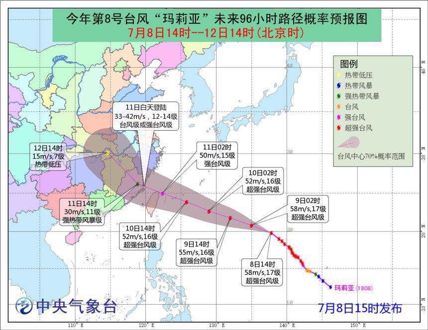
In Typhoon Maria’s center, the waves may reach as high as 12 meters, with winds up to 260 kilometers per hour. These speeds make it extremely dangerous as it travels north through northern Taiwan and Japan’s Ryukyu Islands where the brunt of the typhoon is expected to hit on Tuesday.
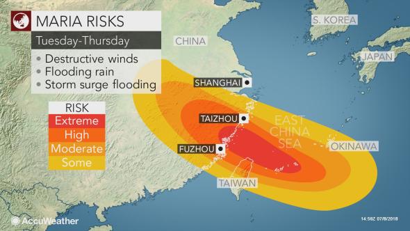
Maria is expected to reach China on Wednesday, with current forecasts projecting landfall over Fujian, Zhejiang and parts of Guangdong. Although it's likely that the storm will have weakened by then, there is still a danger of flooding.


Those who live along the coast in northern Fujian and southern Zhejiang may have to evacuate farther inland to avoid flooding and mudslides, according to Accuweather.
The storm is expected to be at its largest on Tuesday and will continue until Thursday when Shanghai, Hong Kong and southern Guangdong are set to experience extreme hot weather.
[Images via: AccuWeather, Guangdong Weather.]


