 This article originally appeared on our sister website, That's Shanghai.
By Ryan Kilpatrick
The Explainer is where we explain an aspect of Chinese life. Simple. So now you know.
Literal translations of Chinese names are a seemingly inexhaustible source of amusement for English speakers.
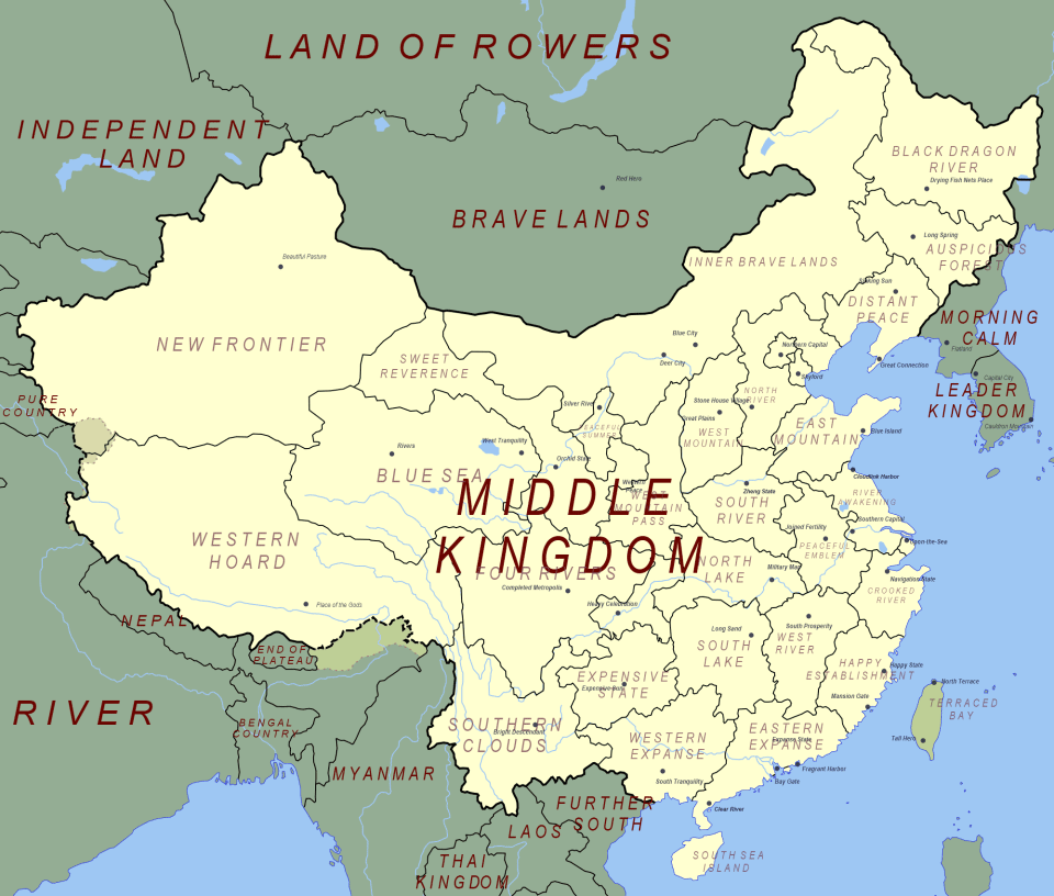
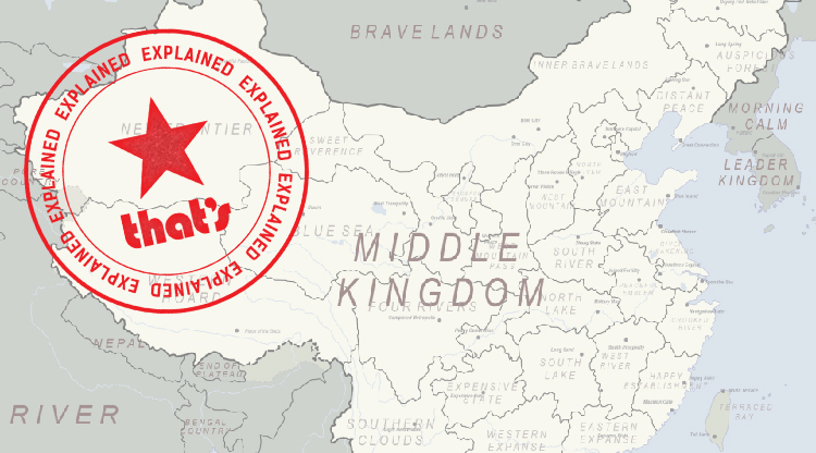
Last year, this map of China's provinces with their names (terribly) translated went viral, purporting to show people with no knowledge of Chinese what the various provinces' names mean:

Like all expressions of Orientalism, however, the map tells us a lot about how Westerners view an exoticized China; but tells us absolutely nothing about the actual places or the people who live here.
The Chinese language is as deep and layered as the country's thousands of years of history, and every place name has a far more interesting story to tell. Here's what the names of China's provinces and autonomous regions really mean...
Heilongjiang 黑龙江

Image via Wikimedia Commons
Literally "Black Dragon River," Heilongjiang Province is named after the river of the same name, which now serves as the border between Russia and China. The Heilong River got its name due to its winding coarse and dark waters.
Known as the Amur River to Russians, it became the new dividing line between the Tsarist and Qing empires after the 1858 Treaty of Aigun yielded to Russia all lands north of the Black Dragon — a whopping 600,000 square kilometers cleaved from the Manchu homeland itself.
The single-character abbreviation (i.e. the character that appears on local license plates) for Heilongjiang Province is 黑 Hei, meaning "black."
Jilin 吉林

Image via Wikimedia Commons
The city of Jilinwula was built by the Qing on the banks of the Songhua River. In the Manchurian language, "jilin" means "along" and "wula" means "big river," referring the city upon the Songhua. When a new province was to be established in the region in, they decided to use the city's name.
The single-character abbreviation for Jilin Province is 吉 Ji, which also means auspicious in Chinese.
Liaoning 辽宁

Image via Wikimedia Commons
"Liao" refers to the Liao River, which runs through the province and empties into Bohai Bay. "Ning" means calm and tranquil. The combination of the two is an act of wishful thinking, hoping that the river would remain docile.
The single-character abbreviation for Liaoning is 辽 Liao.
Hebei 河北

Image via Wikimedia Commons
Hebei ("North of the River") simply refers to the province's geographic location north of the Yellow River, the cradle of ancient Chinese civilization celebrated as the country's 'Mother River.' In the Tang Dynasty, the area north of the Yellow River and east of the Taihang Mountains was known as the Hebei Corridor. Present-day Hebei was known as Zhili, meaning "Directly Ruled [by the imperial government]" until 1928.
The single-character abbreviation for Hebei is 冀 Jizhou, which references the area known in ancient times as Jizhou which encompasses present-day Hebei.
Henan 河南

Image via Wikimedia Commons
Just like Hebei, Henan is so named because it lies south of' 'China's Sorrow,' the tempestuous Yellow River.
The single-character abbreviation for Henan is 豫 Yu, also because it was known in ancient times as Yuzhou.
Shanxi 山西

Image via Wikimedia Commons
Shanxi ("West of the Mountains") gets its name from being west of the Taihang mountain range separating it from Hebei.
During the Spring and Autumn Period (770-476 BC) Shanxi was the territory of the Jin kingdom, giving it the single-character abbreviation 晋 Jin.
Shandong 山东

Image via Wikimedia Commons
On the other side of the Taihang Mountains, Shandong ("East of the Mountains") has been around since the Ming Dynasty (1368-1644.
Belonging to the state of Lu in the Spring and Autumn Period, Shandong is known by the single-character shorthand 鲁 Lu.
Hunan 湖南

Image via Wikimedia Commons
"South of the Lake," Hunan sits on the south bank of Dongting Lake, flood basin of the Yangtze River and home of dragon boat racing.
The province gets its single-character abbreviation 湘 Xiang from the Xiang River, which cuts through the province form north to south.
Hubei 湖北

Image via Wikimedia Commons
"North of the Lake," Hubei is situated on the north shore of China's second-largest freshwater lake, the Dongting.
During the Qing Dynasty (1644-1912), provincial capital Wuhan fell under the administration of Ezhou Prefecture, giving Hubei its single-character form 鄂 E.
Zhejiang 浙江

Image via Wikimedia Commons
Zhejiang Province is named after the Qiantang River, which was known as the Zhe River before it was renamed in the tenth century. The river was christened 'Qian's Seawall' in honor of the Wuyue kings whose hydro-engineering works ensured the region's prosperity in later centuries.
While other provinces suffered terribly from regular flooding, Zhejiang remained stable and productive. To this day, Zhejiang and neighboring Jiangsu have the highest per capita GDP of all China's provinces.
Zhejiang's single-character representation is 浙 Zhe, from the river's original name.
Jiangxi 江西

Image via Wikimedia Commons
First referred to as the Jiangxi Corridor in the Tang Dynasty (618-907), Jiangxi became a province during the Qing. It acquired its name, literally "West of the River," from the Gan River. The Gan, however, runs directly through the center of modern-day Jiangxi.
Jiangxi's single-character form is 赣 Gan, after this river.
Shaanxi 陕西

Image via Wikimedia Commons
Shan was the ancient name for the narrow mountain pass where the Yellow River flows down from the Loess Plateau into the North China Plain. The name Shaanxi refers to the "Land West of Shan."
Shaanxi is unique amongst Chinese provinces in being the only one whose name is rendered not in Hanyu Pinyin but in Gwoyeu Romatzyh (GR), the romanization system used in pre-Communist China. Instead of using accents above letters as in Pinyin, tones in GR were reflected in spelling. In Pinyin, wich was invented in 1958, the provinces Shanxi and Shaanxi are indistinguishable in spelling, so the old romanization was retained to remove this ambiguity. However, authorities still tacked on the Pinyin "xi" instead of the GR "shi" to spell out the second character, making Shaanxi's name even more unusual by combining two entirely different romanization systems within a single name.
Modern-day Shaanxi was the home of the Qin state, which unified China for the first time in 221 BC. As a result, it's known simply as 秦 Qin.
Anhui 安徽

Image via Wikimedia Commons
Anhui was born of the Qing-era marriage between Anqing and Huizhou, combining the two names to create the province of Anhui.
Anhui's name is abbreviated to 皖 Wan, since the province is home to Mount Wan, also known as Mount Tianzhu ("Pillar Supporting Heaven").
Jiangsu 江苏

Image via Wikimedia Commons
Like Anhui, Jiangsu's name is a portmanteau formed by the region's two greatest cities — this time Jiangning and Suzhou. Jiangning was the Qing-era name for provincial capital Nanjing after it lost its status as a second, "Southern Capital" bestowed by the Ming Yongle Emperor after he relocated the imperial capital from Nanjing to Beijing, hoping to hedge off a resurgent Mongol threat from the north.
Nanjing was also known as Jinling ("Golden Mound") and was re-christened Tianjing ("Heavenly Capital") when it served as capital of the Taiping Heavenly Kingdom (1851-1864).
Jiangsu is abbreviated to 苏 Su.
Gansu 甘肃

Image via Wikimedia Commons
Yet another double-barreled province, Gansu combined Ganzhou (modern-day Zhangye) with Suzhou (modern-day Jiuquan).
Gansu is usually shortened to just 甘 Gan, but it also known as 陇 Long, another name for Gansu's Mount Pan.
Guizhou 贵州

Image via Wikimedia Commons
Established in the Qing Dynasty , Guizhou's name is somewhat of a mystery. People agree it acquired the name in the Song dynasty but aren't so sure how. Instead, various apocryphal tales contend, the most likely of which is that it was named after a Mount Gui in the region.
Guizhou is known as 黔 Qian, named after the region of the Chu kingdom that it belonged to during the Warring States era.
Sichuan 四川

Image via Wikimedia Commons
Sichuan's name is an abbreviation in itself — of "Four Circuits of Rivers and Gorges." In the Song Dynasty (960-1279), the area was divided into four seperate states that together formed these "four river ciruits": Yizhou, Zhazhou, Lizhou and Pingzhou.
Sichuan is abbreviated as either 川 Chuan, from the province's current name, or 蜀 Shu, the name of one of the eponymous Three Kingdoms vying for supremacy in China from 220-280, which occupied present-day Sichuan.
Yunnan 云南

Image via Wikimedia Commons
Referred to wistfully in English as "South of the Clouds," scenic Yunnan is in fact named simply for being "South of the Yunling Mountain Range."
Yunnan is known by either 云 Yun or 滇 Dian. From the 4th century BC until its annexation by the Han Dynasty in 109 BC, Yunnan was ruled from Kunming by the independent Dian Kingdom, founded by a Chu general sent to suppress the local "barbarian tribes" but later trapped near Lake Dian by enemy armies, where he decided to found his own kingdom and intermarry with the local Dian people.
Fujian 福建

Image via Wikimedia Commons
Fujian Province was created in the Ming Dynasty by combining the names of two of the region's principle settlements: Fuzhou and Jianzhou.
The people of Fujian and their language are known as the Southern Min, a name derived from the province's largest river, and it is from this that the province derived its single-character abbreviation 闽 Min.
Qinghai 青海

Image via Wikimedia Commons
Created in the 16th year of the Republic (1928), Qinghai gets its name directly from the "Azure Sea" itself, Qinghai Lake, the largest lake in China and the seventh-largest saltwater lake in the world. Qinghai, the largest of China's provinces, is referred to as 青 Qing.
Ningxia 宁夏

Image via Wikimedia Commons
Also established in 1928, the Ningxia Hui Autonomous Region takes its name from the ancient Western Xia dynasty founded in the 11th century, which encompassed the modern day region. Xia was then combined with the nearby city of Anning to give us Ningxia.
Ningxia's single-character abbreviation is 宁 Ning.
Guangdong 广东

Image via Wikimedia Commons
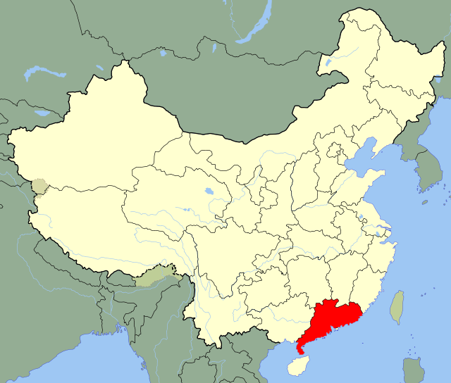
Guangdong and Guangxi have been around since as early as the third century, and were administered jointly as the Liangguang ("Two Expanses") before being separated into Guangdong ("Eastern Expanse") and Guangxi ("Western Expanse") by the People's Republic.
Guangdong is known by the single-character form 粵 Yue, referring to the ancient kingdom of Yue that ruled vast swathes of southern China in the first millennium BC.
Guangxi 广西

Image via Wikimedia Commons
Guangxi, the "Western Expanse," was divorced from Guangdong in 1952 and established as an autonomous region for the Zhuang people in 1958.
The Zhuang minority were broadly supportive of the Communist cause and viewed as instrumental in the Communists' regional ascendance, thus earning the reward of their own supposedly autonomous region.
Other scholars however, have seen ulterior motives in the Guangxi's establishment: as a foil against local Han sentiment against the CCP as well as a form of gerrymandering. Support for the Communists had always been weak in the south and the Cantonese people have always retained a strong sense of regional identity separate to that of the "north" (i.e. everything north of Guangdong). By carving Liangguang into three separate entities (Hainan was later separated from Guangdong in 1988), Beijing-based Communist authorities were therefore pursuing a 'divide and conquer' stratagem against pan-Lingnan sentiment amongst the Cantonese people.
Guangxi's single-character abbreviation is 桂 Gui, from the region's most famous city Guilin.
Hainan 海南

Image via Wikimedia Commons
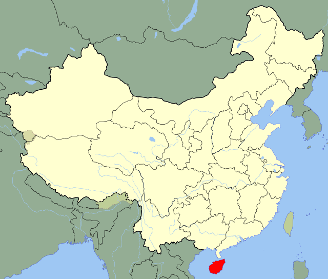
The youngest of China's provinces, Hainan island was separated from Guangdong and made into its own province in 1988. Hainan is also the smallest and southernmost of all the provinces, and its name means "South of the Sea." Hainan is also China's largest Special Economic Zone, encompasses the entirety of the island.
Although it was never explicitly stated as such, the decision to establish Hainan as a separate province has been viewed as a symbolic gesture toward Taiwan, showing how a capitalist island could operate on the fringes of Red China. If this was their intention, however, the gesture fell flat. Just as Hainan Province was established, Taiwan was emerging from martial law and beginning to democratize, acquiring political values that outweighed mere economic transactions.
Hainan also administers China's various disputed South China Sea possessions such as the Paracel and Spratly Islands, and is the base for China's nuclear submarine fleet. Established in tandem with China's naval modernization and increasing assertiveness over the country's South China Sea claims, Hainan Province (nominally) includes over 200 islands, the southernmost of which, James Shoal, lies just 80 kilometers from the Malaysian coast (and 1,800 kilometers from China's).
Hainan Province is shortened to 琼 Qiong, named after the Qiongzhou Strait that separates Hainan from the mainland.
Tibet 西藏

Image via Wikimedia Commons
From the time of the Yuan Dynasty (1279-1368), the lands that today fall under the Xizang Tibetan Autonomous Region were known as Wusizang. "Wusi" means "central" and "zang" means "holy" in Tibetan, and is the same character used to refer to the Tibetans, or 'Zang people' in Chinese.
Established in 1965, the Xizang also effectively partitioned the area recognized as culturally Tibetan, with Qinghai, Sichuan and Yunnan all encompasses large swathes of Tibetan territory as well. For this reason, Xizang and Tibet are not necessarily interchangeable, and some, namely supports of Tibetan independence, use the characters 吐蕃 Tubo to refer to Tibet instead, implicitly including the Tibetan areas of Qinghai, Sichuan and Yunnan as well as the Xizang autonomous region.
Xizang Tibetan Autonomous Region uses the same abbreviation as the Tibetan people themselves — 藏 Zang.
Xinjiang 新疆

Image via Wikimedia Commons
Xinjiang was formally incorporated into Chinese territory for the first time in 1759. As the Qing's latest conquest in the far-west of the empire, it's hardly surprising that the triumphant Qianlong Emperor named it Xinjiang, or "New Frontier."
Xinjiang Uighur Autonomous Region is abbreviated to simply 新 Xin — "new."
Inner Mongolia 內蒙古

Image via Wikimedia Commons
The division between Inner and Outer Mongolia dates back to the Qing Dynasty, when the imperial court more directly ruled the former, thus giving it greater political autonomy. Inner Mongolia lies south of the Gobi Desert and Outer Mongolia is in the north.
Outer Mongolia — today's independent Republic of Mongolia — declared independence after the 1911 Xinhai Revolution and later fell under Russian influence during that country's Civil War. Chiang Kai-shek's Republic of China continued to claim Outer Mongolia as its own, but after Communist triumph in 1949 a part of Mao's pro-Soviet policy direction meant recognizing the newly established People's Republic of Mongolia, at the time a de facto Soviet satellite state.
The single-character abbreviation is the same used for the Mongolian people — 蒙 Meng.
[Top illustration by That’s]
For more of The Explainer, click here.


